Badania terenowe na Lanzarote
Badania terenowe na Lanzarote
MARIVEL Project Fieldwork on Lanzarote
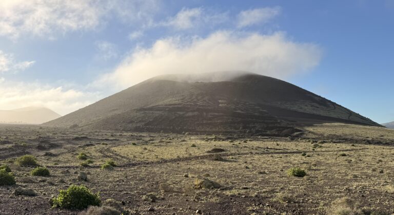
Na końcu stycznia 2026 roku zrealizowano badania terenowe na Lanzarote w ramach projektu MARIVEL, finansowanego przez Narodowe Centrum Nauki. Prace prowadzone były we współpracy Instytutu Geologii Uniwersytetu im. Adama Mickiewicza w Poznaniu oraz Lancaster Environment Centre Uniwersytetu w Lancaster.
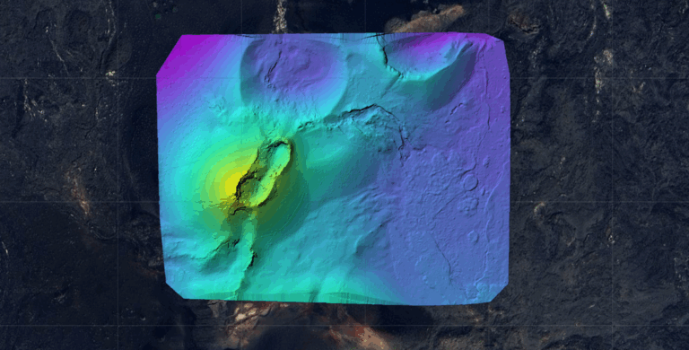
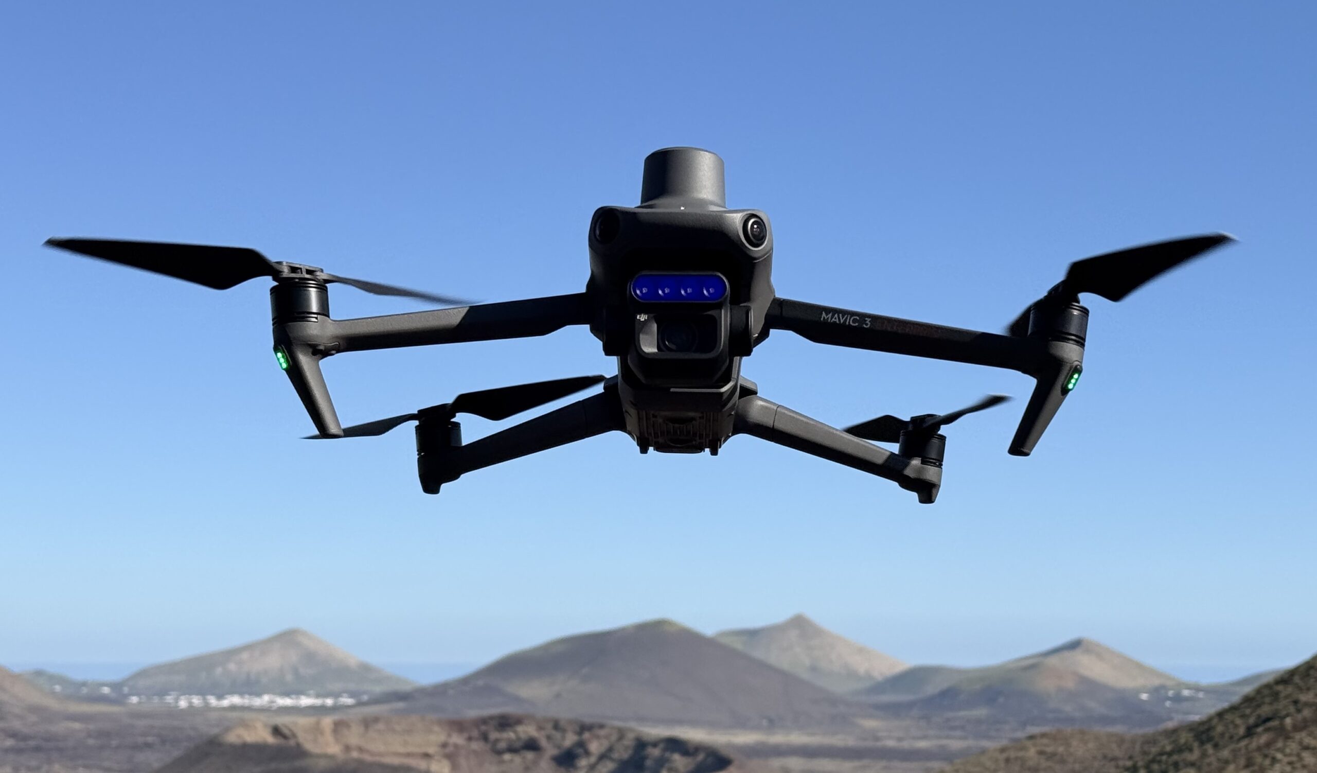
Głównym celem badań było pozyskanie wysokorozdzielczych danych przestrzennych i spektralnych, umożliwiających szczegółową analizę powierzchni badanych obszarów wulkanicznych. W tym celu wykorzystano bezzałogowy statek powietrzny DJI Mavic 3 Enterprise wyposażony w kamerę multispektralną. Zebrane dane posłużą do opracowania numerycznych modeli terenu (DEM) oraz do analiz spektralnych, pozwalających na charakterystykę systemów wulkanicznych.
Badania terenowe zostały przeprowadzone na podstawie pozwolenia uzyskanego od Cabildo de Lanzarote. Składamy serdeczne podziękowania za życzliwość, sprawną współpracę oraz wsparcie organizacyjne, które umożliwiły realizację prac w terenie.
Zgromadzony materiał stanowi istotną podstawę do dalszych analiz w ramach realizacji grantu MARIVEL i z pewnością przyczyni się do lepszego zrozumienia systemów wulkanicznych na Lanzarote, stanowiąc jednocześnie fundament dla transplanetarnych analiz porównawczych z marsjańskim wulkanizmem.
MARIVEL Project Fieldwork on Lanzarote
At the end of January 2026, the MARIVEL team conducted fieldwork on Lanzarote, Canary Islands. The campaign was carried out within the framework of scientific cooperation between the Institute of Geology, Adam Mickiewicz University in Poznań, and the Lancaster Environment Centre, Lancaster University.
The primary objective of the research was to acquire high-resolution spatial and spectral datasets enabling detailed analyses of the surface characteristics of the investigated volcanic areas. To this end, a DJI Mavic 3 Enterprise unmanned aerial vehicle equipped with a multispectral camera was deployed. The acquired data will be used to generate digital elevation models (DEMs) and to perform spectral analyses aimed at characterizing the structure and surface properties of volcanic systems.
The field campaign was conducted under a permit granted by the Cabildo de Lanzarote. We would like to express our sincere gratitude for their kindness, efficient cooperation, and organizational support, which were essential for the successful completion of the fieldwork.
The collected dataset constitutes a crucial foundation for further analyses within the MARIVEL project and will contribute to an improved understanding of volcanic systems on Lanzarote. These results will be used in transplanetary comparative studies, particularly in the context of Martian volcanism, in line with the objectives of the MARIVEL project.